Koh Phangan viewpoints, waterfalls and hikes
Phaeng and Domsila, Khao Ra, Than Sadet and more: the jungle walks and viewpoints we love, with honest difficulty ratings and timings.
The short answer: the Koh Phangan viewpoints most worth the climb are Domsila, a 45 to 50 minute walk up from Phaeng Waterfall, and Khao Ra, the island's highest point at around 630 metres, a 2 to 3 hour hike. Phaeng is the best waterfall for a first visit, Than Sadet on the east coast carries the most history, and the falls flow best after the rains, from about August to January.
Most visitors know Koh Phangan for its beaches. We think the inside of the island is just as good. Much of it is steep, green jungle, a large part protected inside the Than Sadet–Ko Pha-ngan National Park, and from Wok Tum on the west coast most of the trailheads below are a short drive away.
Quick facts: hikes and viewpoints at a glance
| Walk | Type | Difficulty | Time (return) | Fee (as reported, 2025–2026) |
|---|---|---|---|---|
| Phaeng Waterfall | Waterfall | Easy | 30 min | 100 baht adult, 50 child |
| Domsila viewpoint | Viewpoint | Moderate, steep | 1.5 to 2 h incl. loop | Included with Phaeng |
| Khao Ra | Summit, 627 to 635 m | Hard, steep final section | 3 to 4 h | Small fee reported (20 to 40 baht) |
| Than Sadet | Waterfall and history | Easy | 15 to 30 min | Reported free |
| Wang Sai | Waterfall | Easy | 30 min | 50 baht adult, 20 child |
| Paradise Waterfall | Waterfall | Easy to moderate | 15 min, or about 1.5 h to the upper falls | Small fee |
| Bottle Beach viewpoint | Viewpoint | Moderate | 1 to 2 h | Free |
Times are for a relaxed pace. Fees are as reported by recent visitors and can change; carry cash.
Phaeng Waterfall and Domsila viewpoint: our first choice
If you only do one walk, make it this one. Phaeng Waterfall sits in the forest of Maduea Wan, inland from Thong Sala off the road to Chaloklum, and it is the island's most visited falls for good reason: an easy path, cool shade and a proper viewpoint at the top.
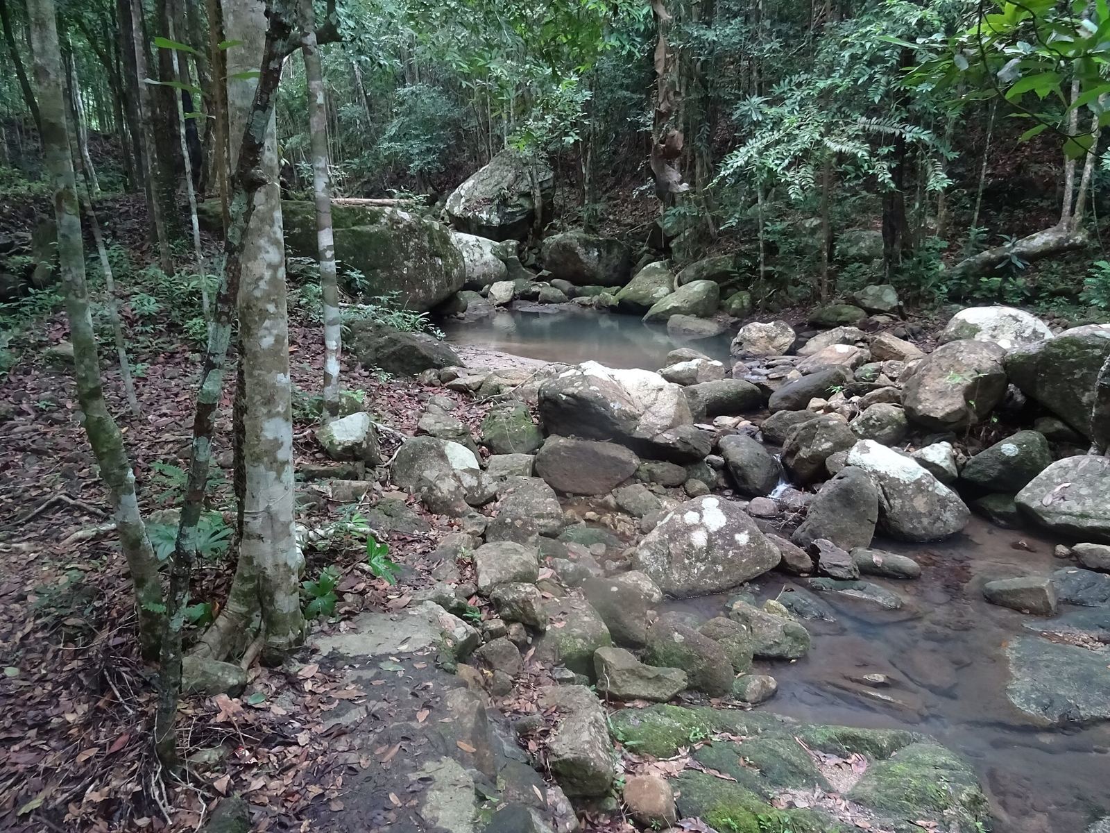
The practical bits (as reported in 2025): the park is open daily from about 08:00 to 16:30. Foreign visitors pay 100 baht per adult and 50 baht per child at the ticket office, where you also sign in. Parking has been free.
The routes:
- Phaeng Noi and Phaeng Yai falls: about 30 minutes on a well-trodden path with wooden steps. Easy for most ages.
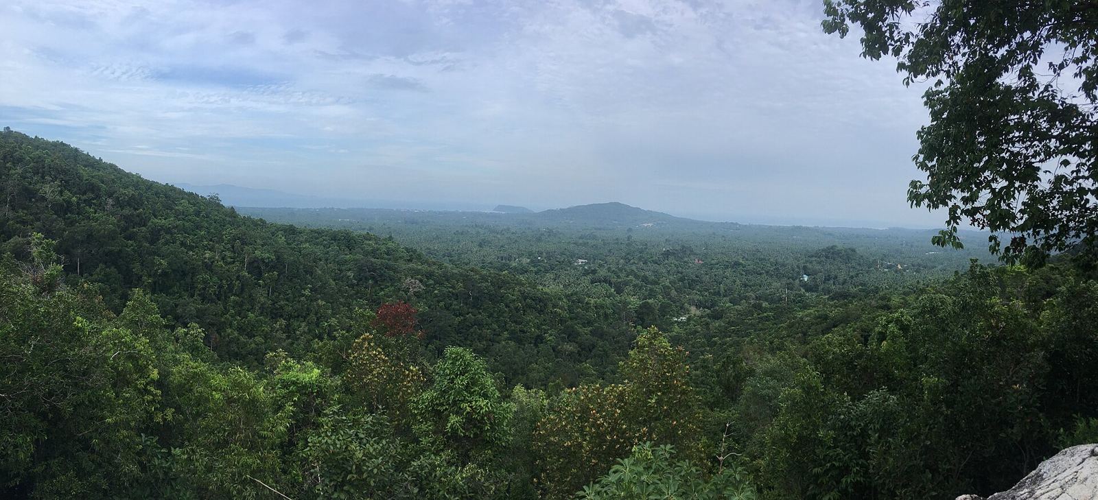
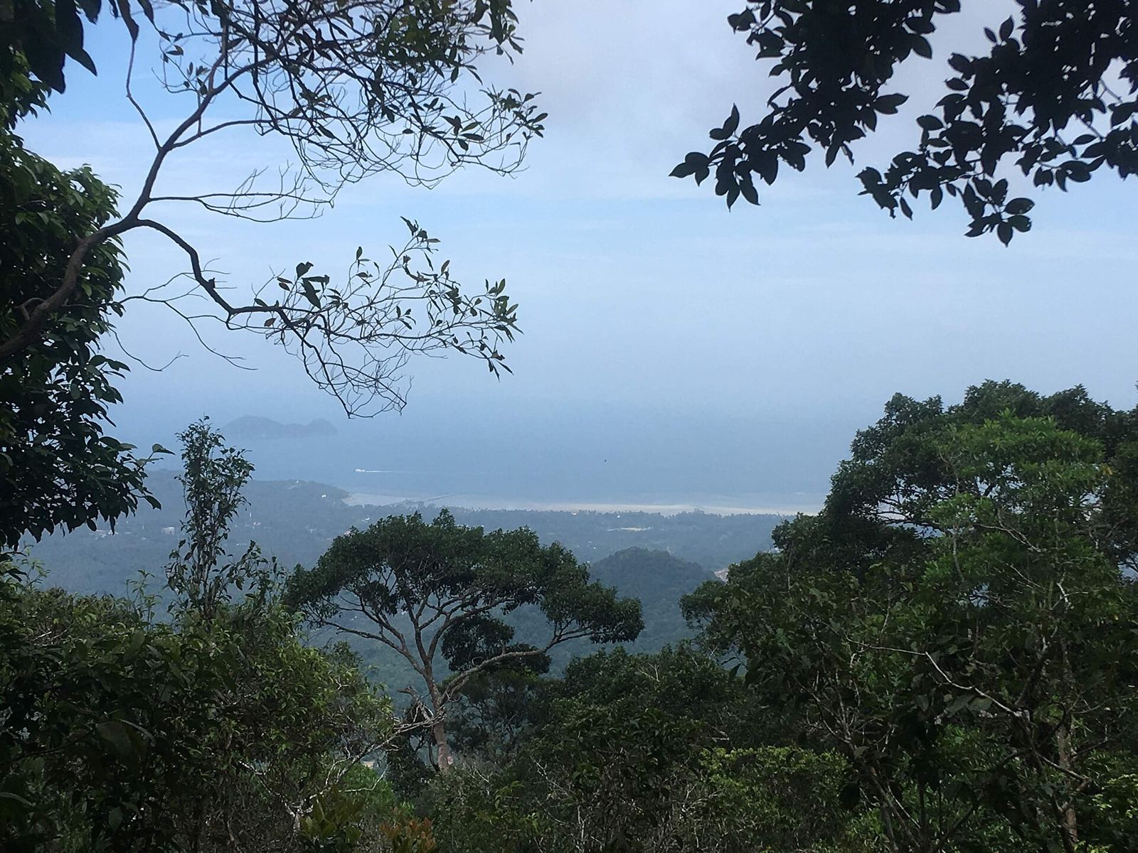
- Domsila viewpoint: around 45 to 50 minutes up from the entrance, steep in places, with roots and rocky steps. The reward is a wide view over the south-west of the island, the coast and, on a clear day, Koh Samui across the water.
- The full loop: roughly 3 km, linking the falls and the viewpoint in 1 to 2 hours.
Our tips: go early, when it is cooler and the light over the coast is soft. Wear trainers with grip; flip-flops are no good here. Take water. After heavy rain the rocks are slippery, so take the descent slowly.
Khao Ra: the island's highest point
Khao Ra is the summit of Koh Phangan. Figures vary slightly, but the national park puts it at 635 metres and most hiking guides quote 627. It is the real hike on the island, and the view from the top takes in the north-west coast, Chaloklum Bay, Mae Haad and Koh Ma, with Koh Tao on the horizon to the north and Koh Samui to the south.
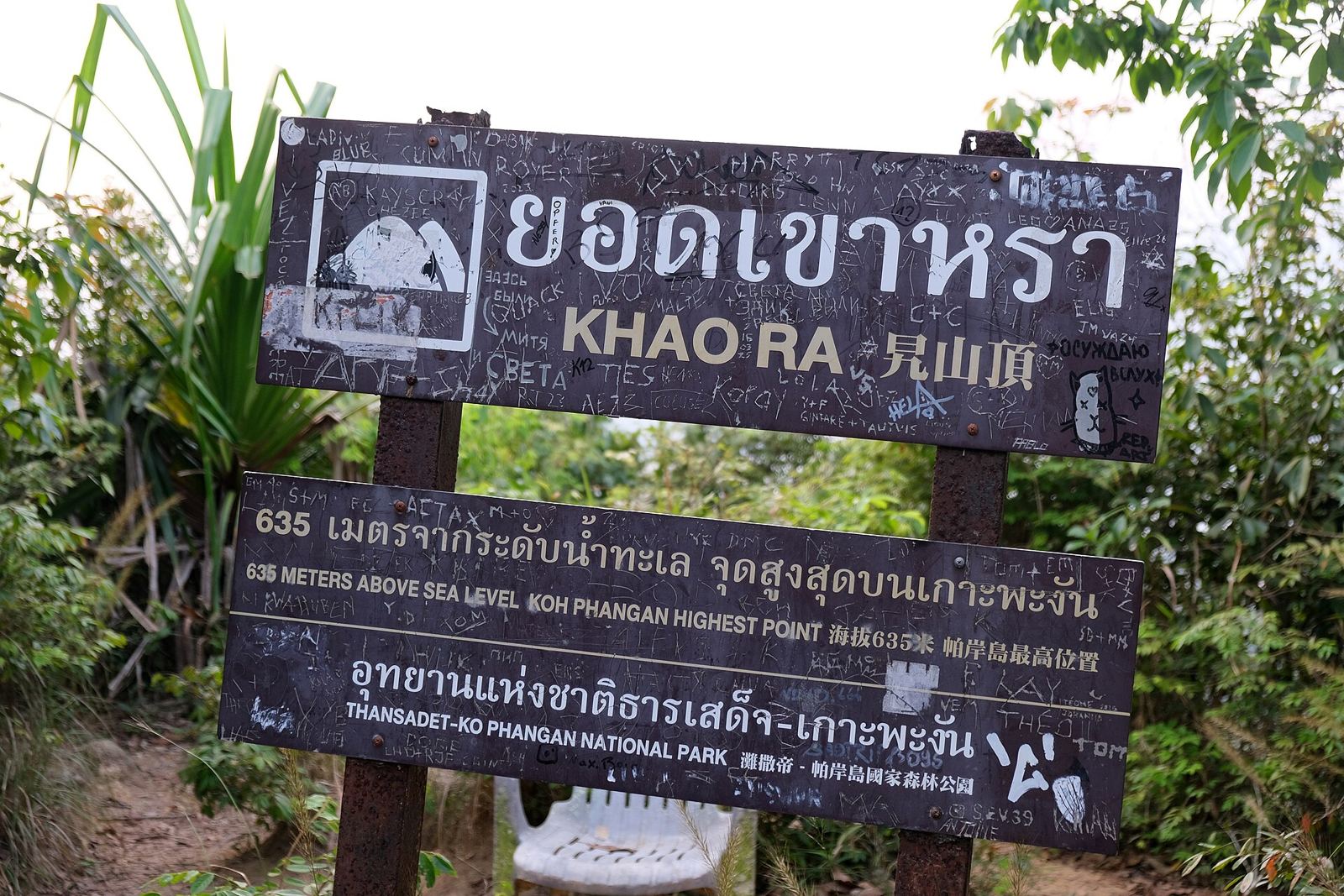
- Where it starts: the trailhead is in the centre of the island, near Khao Ra Bungalows, reached by turning off the Thong Sala to Chaloklum road near Phaeng Waterfall and Wat Maduea Wan.
- Distance and time: about 3 km each way. Allow 2 to 3 hours up and 3 to 4 hours for the round trip with a rest at the top.
- Difficulty: strenuous but not technical. The last kilometre is steep, the path is faint in places and the ground can be loose.
- Guide: not strictly needed if you are experienced and in a group, but never go alone. A local guide is a good idea if you are unsure.
- Bring: proper shoes, around 2 to 3 litres of water each, snacks and a fully charged phone. Start at first light to beat the heat.
The western slopes of Khao Ra drop down towards Wok Tum, which is why this mountain feels like our own back garden.
Than Sadet: the royal waterfall
On the east coast, Than Sadet is the waterfall with the deepest history. Its name means roughly the royal stream: King Rama V first came here in 1888 and returned as many as fourteen times over the following 21 years, and his initials are still carved on a rock near the river mouth. Later kings, including King Rama IX, also visited. The stream forms a chain of falls and rock pools over about 2.5 km, and the national park that now protects much of the island is named after it.
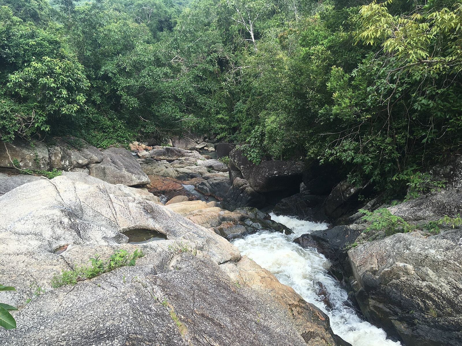
The lower falls are a short walk from the road and have been reported as free to visit. Experienced walkers can follow the stream further upstream. Than Sadet makes a good half-day with a swim at the beach at its mouth.
More waterfalls worth knowing
- Wang Sai Waterfall (north-west): on the road to Mae Haad and Koh Ma, with clear pools and an adventure park offering a zipline and skywalk. Recently reported at 50 baht for adults and 20 baht for children. Easy enough for families, and it pairs well with an afternoon at Koh Ma; see our snorkelling guide.
- Paradise Waterfall (centre-north): off the Thong Sala to Chaloklum road, with a pool and rope swings close to the entrance. To see the upper falls, follow the trail and the water pipe into the jungle for around 40 minutes. A small entrance fee has been reported; it varies, so carry cash. It runs low in the dry season.
- Than Prawet (north-east): near Thong Nai Pan, a series of cascades that runs inland for around 2 km. Good for a scramble if you are staying on that side.
More Koh Phangan viewpoints, from easy to sunset
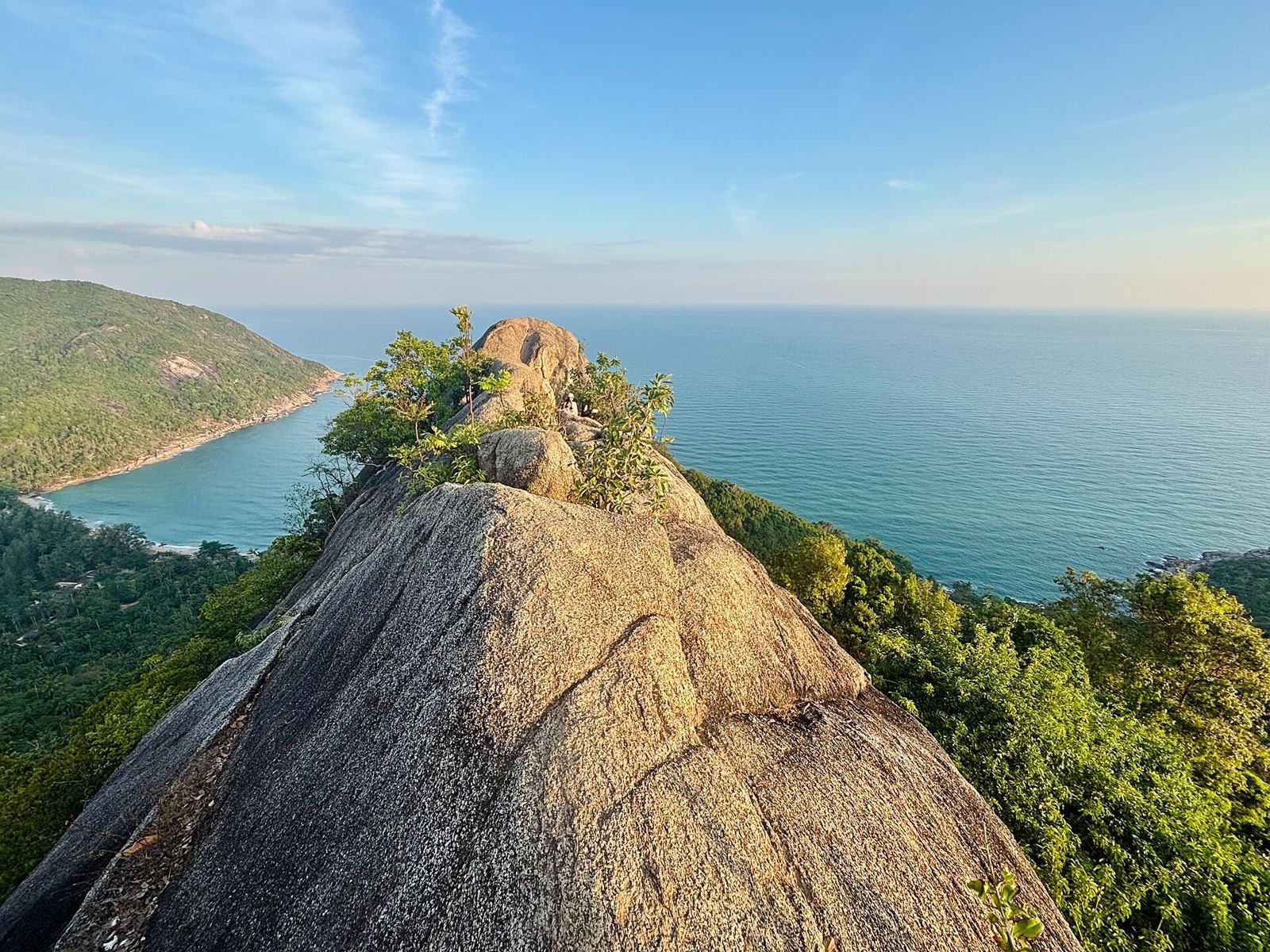
Bottle Beach viewpoint (Phasawan)
Above Bottle Beach on the north coast, this viewpoint looks down over one of the island's most beautiful bays. Hike up from the beach (40 to 60 minutes) or take the shorter trail from the parking area higher up. It is free and usually quiet. Bring water and sun cream; there is no shade at the top.
Thong Nai Pan viewpoint
On the north-east coast, a 15 to 20 minute trail from the beach leads to a lookout over the twin bays of Thong Nai Pan Noi and Yai. A lovely spot at sunrise.
Sunset viewpoints with a drink
Not every view needs a hike. The bar on the hill above Mae Haad looks straight down on Koh Ma, and Amsterdam Bar, on the hill west of Thong Sala, has one of the island's classic sunset views; it is 1.2 km and 3 minutes from Mira, and one of our Friends of Mira. Our best sunset spots guide has the full list.
When to go: water, heat and light
- For waterfalls: go after the rains, from roughly August or September to January. October and November bring the heaviest rain, so the falls are full but the trails are muddy and slippery. From March to May the smaller falls can slow to a trickle.
- For viewpoints: the dry months from February to April bring the clearest views, though the heat builds quickly. Start early.
- For any hike: the cooler hours before 10:00 or after 15:30 are best. Our best time to visit Koh Phangan guide covers the weather month by month.
Safety and etiquette on the trails
- Footwear first. Trainers or hiking sandals with grip. Granite gets slippery when wet.
- Never hike alone, especially on Khao Ra, and tell someone where you are going.
- Carry more water than you think, and cash for park fees.
- Respect the park. Stay on the trails, take your rubbish home and don't use soap or sun cream in the pools.
- Watch the clock. Darkness falls quickly in the tropics, around 18:00 to 18:30 most of the year.
A west coast base for the hills
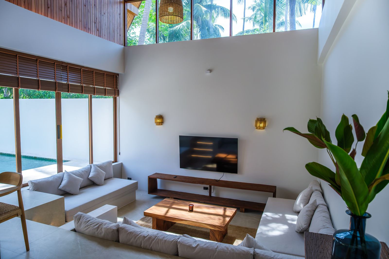
Wok Tum sits at the foot of Khao Ra on the central west coast, so the Phaeng and Khao Ra trailheads, and Thong Sala's pier eight minutes away, are all close by. After a morning on the trails, there is nothing better than coming back to a private pool. Mira's six villas have exactly that, and you can check dates and book directly. For more ideas, see our complete west coast guide.
Frequently asked questions
What is the best viewpoint on Koh Phangan?
For a hike, Domsila viewpoint above Phaeng Waterfall is the best balance of effort and reward, with a sweeping view over the south-west coast towards Koh Samui. Khao Ra, the island's highest point at around 630 metres, is the big one. For sunset with a drink, the bars above Mae Haad and on the hill west of Thong Sala are hard to beat.
How long is the hike to Domsila viewpoint?
Allow about 45 to 50 minutes uphill from the Phaeng Waterfall entrance, on a steep trail with steps and roots. The full loop past the waterfalls and the viewpoint takes around 1 to 2 hours depending on your pace.
How much does Phaeng Waterfall cost?
As of 2025 reports, the entrance fee for foreign visitors is 100 baht for adults and 50 baht for children, paid at the ticket office, where you also sign in. The park is open daily from about 08:00 to 16:30. Fees can change, so check on arrival.
Do you need a guide to hike Khao Ra?
A guide is not strictly required, and many hikers manage the trail on their own, but it is steep near the top, faintly marked in places and slippery after rain. Never hike it alone; a guide is a good idea if you are unsure of your route-finding.
When do Koh Phangan's waterfalls have the most water?
After the rains, so roughly from August or September through December and into January. From March to May, in the dry, hot months, many falls slow to a trickle and some smaller ones dry up.
Is Than Sadet Waterfall free?
Than Sadet has been reported as free to visit, with a short walk from the road to the pools. It is on the east coast, so it pairs well with a swim at Than Sadet beach.
Photo credits